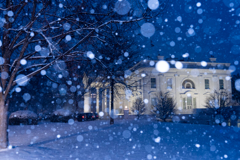
“Caution” is the word of the day while the D.C. region remains under a winter storm warning Wednesday as residents begin digging themselves out from several inches of snow that slammed the area.
Snow will exit the I-70 corridor between Mount Airy and Hagerstown by 8 a.m.
Expect slippery secondary roads in that zone with another half to one inch of accumulation.
The morning commute will bring a patch of freezing drizzle, a few sleet pellets and snowflakes south of I-70 and upper part of I-270. Roads will remain wet with a few slushy and icy spots on bridges and overpasses until about 9 a.m.

Much of the region saw severla inches of snow collect on the ground on an hourly basis at the peak of the storm.
Want to see your snow day pictures featured on WTOP.com and on our social media? Send us your photos or videos using the WTOP News app’s Feedback tool. Download the app for Apple and Android phones.
By the afternoon, the D.C. area may see a wintry mixture of freezing rain and sleet that will later turn into rain. The day’s high temperatures will remain in the mid-30s for much of the day, with winds staying at about 5 mph.
Come Thursday, any leftover snow buildup on the roads will likely be washed out as the D.C. area is hit with another dose of rain. Temperatures are forecast to reach the high 40s before slumping back into the low 20s by nightfall.

The start of the weekend will kick off with some sunny weather on Friday. But, that reprieve will be temporary as Saturday and Sunday are due to be rainy, according to the weather service.
Forecast
WEDNESDAY MORNING: Steady snow ending by 8 a.m. along I-70 and the upper part of I-270. Pockets of sleet, freezing drizzle and flurries elsewhere. Icy secondary roads, bridges and overpasses. Roads turning wet after 9 a.m. TEMPERATURE: Reaching 36 degrees.
Winds: Light East.
WEDNESDAY AFTERNOON: Drizzle becoming a steady rain for the second half of the commute. High: 35 degrees.

Winds: Light SE
WEDNESDAY NIGHT: Dense fog and drizzle becoming showers late. Temperature: Rising to the Upper 30s
Winds: Calm
THURSDAY: A couple of showers, then windy in the afternoon. High: Near 50 degrees.
Winds: SE becoming NW at 15 mph, with gusts to 40 mph.
FRIDAY: Breezy and partly sunny. High: Mid 30s
Winds: NW 10 mph with gusts to 25 mph.
SATURDAY: Brief period of sleet and snow during the midday, then rain. Likely less than 1” in DC, with slightly heavier amounts N&W. High: Upper 30s.
Winds: South at 5 mph.
CURRENT CONDITIONS
Get breaking news and daily headlines delivered to your email inbox by signing up here.
© 2025 WTOP. All Rights Reserved. This website is not intended for users located within the European Economic Area.