UNITED STATES (WGME) — Monday kicks off a multiday severe weather event for the Southeast, with the worst happening on Tuesday.
The National Weather Service issued convective outlooks through Wednesday that include the possibility of severe thunderstorms, damaging winds, large hail, and tornadoes.
On Tuesday, there is an enhanced risk for severe storms in Louisina, Mississippi, and Arkansas.
There is also a 30% chance of damaging winds in that same area.

The hatched lines mean a 10% or greater probability of wind gusts of 74 MPH or greater within a 25-mile radius.
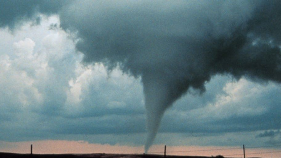
It is officially tornado season out west and down south.
The tornado threat is high across those same three states.
Similar to the damaging wind threat, the hatched lines within the yellow area mean a 10% or greater probability of an EF2 – EF5 tornado touching down within a 25-mile point radius.

Tornado season begins in March and ends in July, but it is not uncommon to see tornadoes outside of that timeline.
In 2024, 1882 tornadoes touched down in the United States. So far, in 2025, there have been about 20 tornadoes.
Maine does get tornadoes, as peak tornado season runs from June to August.
The average is about 2 per year. Since 1950, there have been 74 tornadoes that impacted Vacationland.

The most recent Maine tornado breakout happened in 2017 when five tornadoes touched down.
Do you have any weather questions? Email our Weather Authority team at [email protected]. We’d love to hear from you!