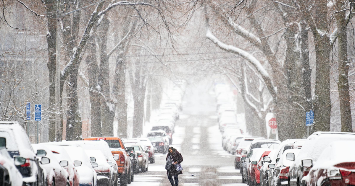
Snow and perhaps blizzard conditions are expected Wednesday as yet another winter storm prepares to clobber the Twin Cities and much of southern Minnesota.
Just how much snow will fall largely depends on where you live.
What is known is that “this will be heavy, wet snow,” the National Weather Service said. And places from Fairmont to Faribault to Red Wing appear to be in the bull’s-eye for 4 to 9 inches of it, the Weather Service said.
But the storm, moving from southwest to northeast, is poised to drop 3 to 5 inches of snow across the Twin Cities metro, with the higher totals in the southern and eastern suburbs and lesser amounts in the far northwestern suburbs and out toward St. Cloud.

“There will likely be a razor sharp snowfall gradient along the northwest edge of the band,” the Weather Service said. “Areas along the northwest edge of the heavier snow have the highest uncertainty, which includes the Twin Cities metro area.”
In other words, prepare for an inch or two or up to half a foot in the metro. An inch or two of accumulation per hour is possible, the Weather Service said.
A winter storm watch is in effect from late Tuesday through Wednesday evening in Scott, Dakota and Washington counties in the metro area and across southeastern Minnesota. The watch area also stretches into western Wisconsin.
Winds blowing as strong as 40 mph will accompany intense snowfall from Worthington to Albert Lea and north to Mankato and east to Red Wing where a blizzard warning was in effect.