(KFVS) – Although the greatest severe storm threat has pushed east, another round of showers and thunderstorms is expected to redevelop today.
First Alert Meteorologist Brian Alworth says a few of those storms could become severe in parts of Kentucky and Tennessee, and maybe even extreme southeast Illinois, as the trailing cold front moves through from west to east.
Otherwise, it will be mostly cloudy and breezy today.
Heavy downpours are also a threat today, especially in our southeastern counties.

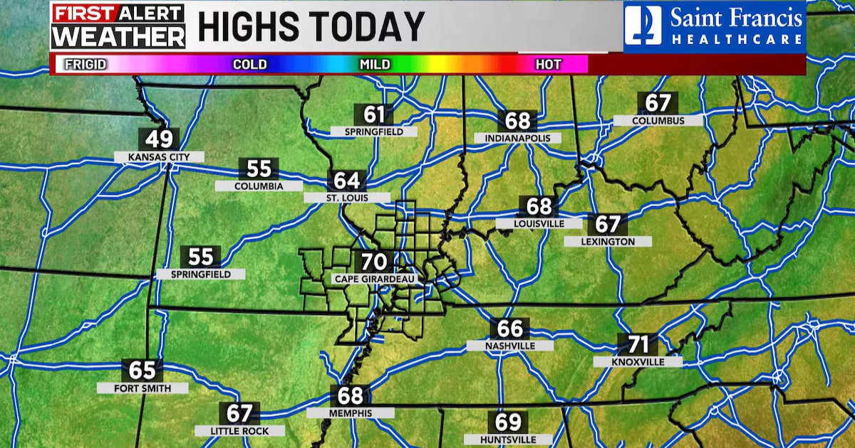
Highs today will only be around 70, which is still a bit above average for mid-March.
Cooler and drier air will begin to blow in from the northwest tonight and Sunday.
Sunday night will be quiet but much cooler. We could have a little frost again by Sunday night into Monday morning.
Our next chance for precipitation looks to be a chance of showers about Wednesday.

Copyright 2025 KFVS. All rights reserved.