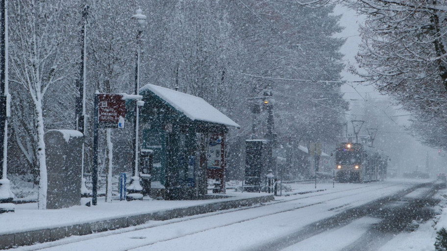
PORTLAND, Ore. (KATU) — The National Weather Service in Portland has begun issuing advisories, watches, and warnings ahead of expected winter weather across western Oregon and southwest Washington.
WEATHER | LATEST STORM TRACKER 2 FORECAST
For the Portland metro area, a Winter Weather Advisory was issued just after 2:45 a.m.
“Impending snow and freezing rain coming tomorrow, start time now looks like Salem south around 7 or 8 o’clock in the morning,” Storm Tracker 2 Meteorologist Rhonda Shelby said. “For the rest of us, it will be a little bit later than that.”
“Precipitation begins as mixed snow and freezing rain early Thursday morning. Precipitation will transition over to primarily freezing rain by Thursday midday. The Thursday morning commute will be affected,” NWS Portland said in their advisory message.

A Winter Storm Watch has been posted in the Willamette Valley. The main difference between the valley and the Portland area is that NWS Portland believes there is a better chance of seeing over 2 inches of snow in the valley, while around Portland, it is more likely that we will see about an inch of snow.
“All of western Oregon and southwest Washington will have snow on the ground by the end of the day tomorrow, and possibly some freezing rain,” Shelby added.
In higher elevations and the Columbia River Gorge, snow amounts could accumulate up to three inches.
If any location receives significant icing, tree limbs could come down causing power outages.

Rhonda expects widespread closures for Friday morning as freezing rain looks to be the dominant weather feature.
Storm Tracker 2 meteorologists will be tracking the latest forecast every few hours and Dave Salesky will have most up to date timing and snowfall amounts at 4, 5, 6, and 11 p.m.